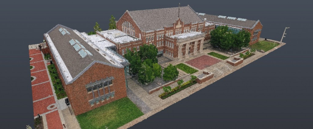
Case Study: Reality Capture – A Teaching Tool
Oklahoma State University, School of Architecture - Stillwater, Oklahoma


-
Use reality capture technologies as a learning tool for Oklahoma State University’s School of Architecture students to increase awareness of scanning technology used in professional practice.
-
Provide a method to safely educate students about building systems inaccessible due to liability.
The Goal
Keep students safe while learning about the systems within the School of Architecture building.
Use virtual tour and point cloud models for teaching tools.
Pull scan data for research projects within the School of Architecture.
Expose students to the products of the reality capture process.
The Solution
Mobile map, laser scan, and aerial photoscan the exterior, interior, and mechanical spaces of the building.
Visually represent the building through 3D scanning to generate a point cloud and virtual tour.
Augment the virtual tour with points of interest conveying additional information about the building.
By The Numbers
“For an academic institution, the building scan provides an incredible resource for teaching and research for our faculty and students. Our building itself was designed to be a teaching tool, and now we have a digital twin of the building that we can use as a teaching tool as well. Through exploring the building scan, the students learn about new technologies being used in professional practice, as well as consider important issues of visual representation as the technology for producing architectural drawings and renderings continues to evolve.”
Keith Peiffer / Assistant Professor / OSU School of Architecture

